Makatea
Makatea is an upraised coral island located in the central South Pacific, approximately 130 miles (210 km) northeast of Tahiti. Administratively part of the…
What is Makatea?
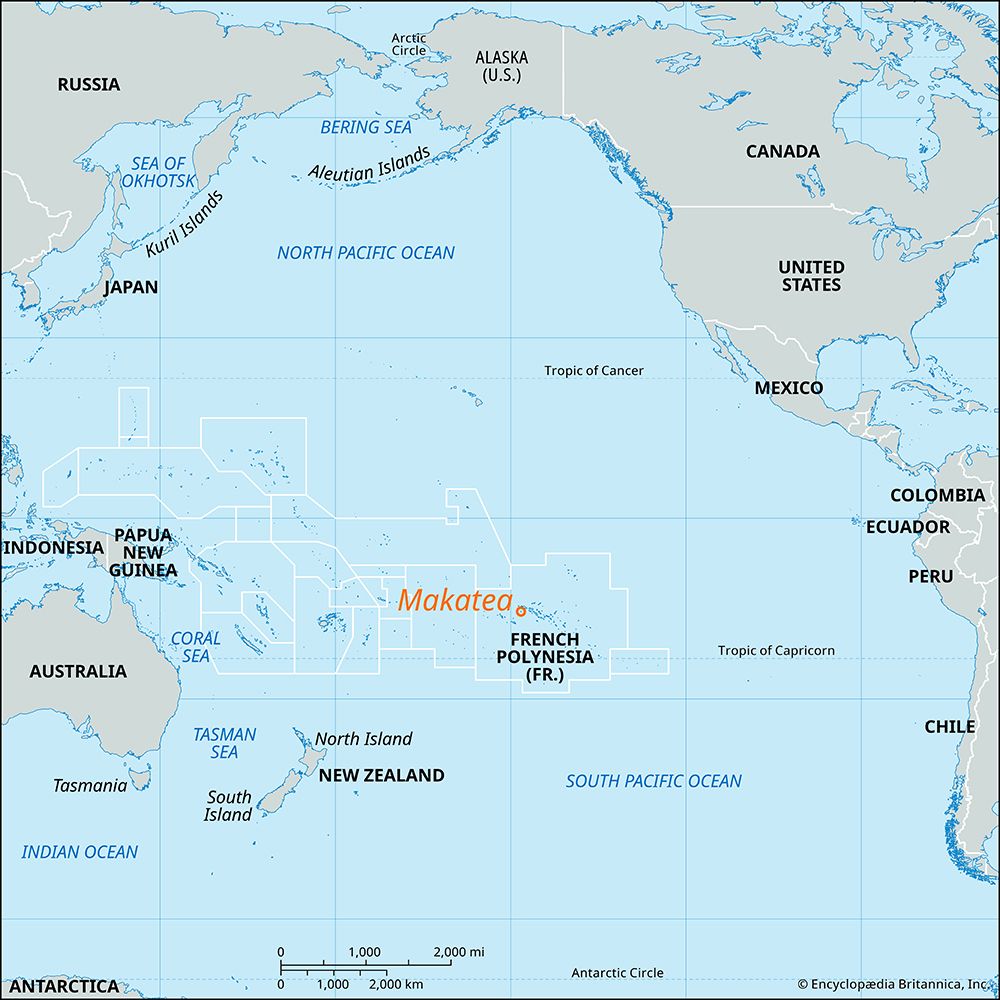
Makatea is an upraised coral island located in the central South Pacific, approximately 130 miles (210 km) northeast of Tahiti. Administratively part of the Tuamotu Archipelago in French Polynesia, the island measures 5 miles long by 3 miles wide.1
Historically, the island was significant for its large deposits of phosphate rock. These resources were extracted by British and French interests between 1908 and 1966, at which point the supplies were exhausted. Due to the depth of the surrounding coastal waters, specialized loading facilities were constructed at Temao on the island’s west coast to support this industry. Today, Makatea remains a sparsely populated island, with a recorded population of 95 as of 2022.1
How are upraised coral islands formed?
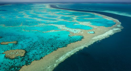
Upraised coral islands are formed through the process of uplift, where crustal movements raise a portion or the entirety of a coral reef system above sea level.2
This geological transformation results in the following characteristics:
- Plateau-like Features: The previously submerged reef top is elevated to become a low, plateaulike landmass.2
- Karst Topography: Because these islands are composed of calcium carbonate, their surfaces are often rocky and sculpted by solution weathering, creating a landscape known as karst.2
- Interior Basins: These islands often retain the structural shape of their origin, sometimes appearing as atolls with a central lagoon that has become shallow or completely dry.2
While many coral islands are formed by accretion—the accumulation of reef debris broken off by storms and waves—upraised islands are distinct because they are products of tectonic or crustal forces rather than the gradual buildup of sediment.2
What is the Tuamotu Archipelago?
The Tuamotu Archipelago is a vast island group located in the central South Pacific Ocean and is part of French Polynesia. It holds the distinction of being the world’s largest group of coral atolls, consisting of 75 atolls, one raised coral atoll (Makatea), and numerous coral reefs dispersed in a double chain spanning over 900 miles (1,450 km).7
Key aspects of the archipelago include:
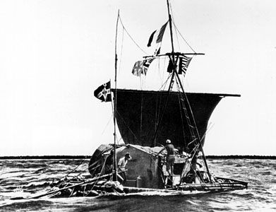
- Geography: Most of the islands are flat with limited fresh water, with the exception of the raised island of Makatea. Notable atolls include Rangiroa, Fakarava, and Raroia, the latter being the site where the Kon-Tiki expedition ended in 1947.7
- History: Pukapuka Atoll was the first South Pacific island sighted by Europeans, notably by Ferdinand Magellan in 1521. The islands were annexed by France in 1880.7
- Economy: Local populations rely on fishing, coconuts, and the cultivation of “black pearls” from the black-lipped oyster.7
- Nuclear Testing: Between 1966 and 1996, France conducted approximately 180 nuclear-weapons tests on the uninhabited atolls of Mururoa and Fangataufa.78
How does phosphate mining impact an island’s environment?
Phosphate mining significantly alters an island’s environment by extracting essential mineral deposits that are otherwise non-renewable on human timescales. While the provided search results do not detail the specific physical landscape degradation caused by mining, they note that the exhaustion of these deposits—such as those on Makatea and Naoero—often leaves islands facing significant economic and environmental transitions.
Beyond the direct removal of rock, the broader phosphorus cycle is sensitive to human intervention. When phosphorus is introduced into ecosystems through runoff or industrial use, it can cause explosive growth of plants and microorganisms in aquatic environments. This process often leads to a depletion of oxygen, which can be fatal to fish and other aquatic life. Furthermore, because phosphorus is a limiting nutrient for plant growth, the removal of topsoil or the disruption of natural nutrient cycles can hinder the ability of terrestrial ecosystems to recover or support agriculture.
Sources
- Makatea — Encyclopædia Britannica
- coral island — Encyclopædia Britannica
- Pacific Ocean - Geology — Encyclopædia Britannica
- French Polynesia — Merriam-Webster
- French Polynesia - History of French Polynesia — Encyclopædia Britannica
- mountain - Volcanoes and island arcs surrounding the northwest Pacific basin — Encyclopædia Britannica
- Tuamotu Archipelago — Encyclopædia Britannica
- Tuamotu Archipelago — Merriam-Webster
- Polynesian culture - Contemporary Polynesia — Encyclopædia Britannica
- Cook Islands - Soils — Encyclopædia Britannica
- Naoero - History of Naoero — Encyclopædia Britannica
- Cook Islands - Resources and power — Encyclopædia Britannica
- Biosphere - The cycling of phosphorus and other essential nutrients — Encyclopædia Britannica
Published on · 3 min read