Mount Logan
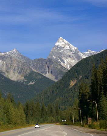
Mount Logan is the highest mountain in Canada and the second-highest peak in North America, reaching an elevation of 19,551 feet (5,959 meters). Located in…
What is Mount Logan?
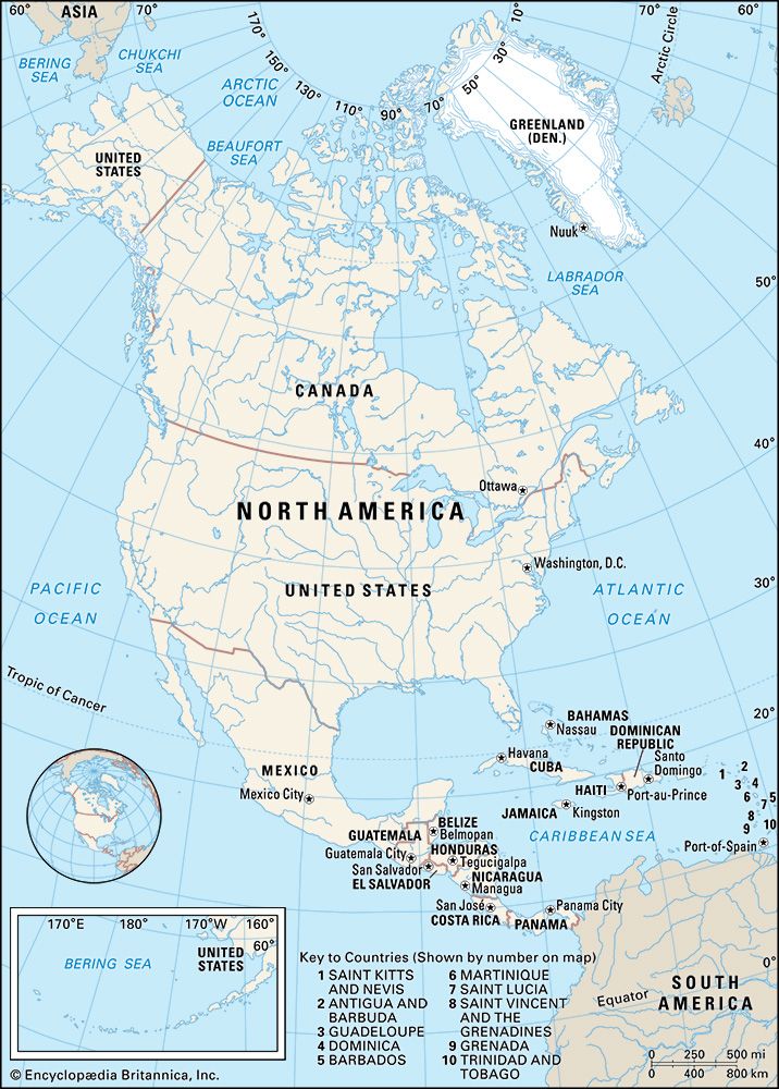
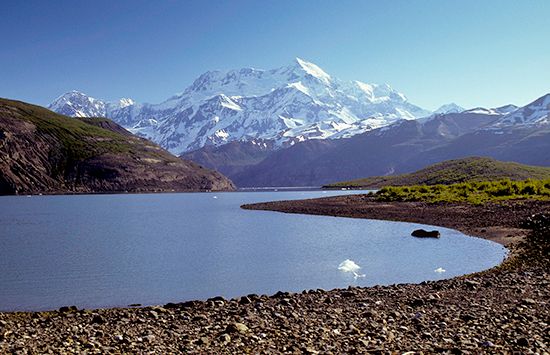
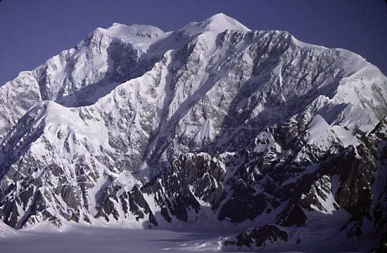
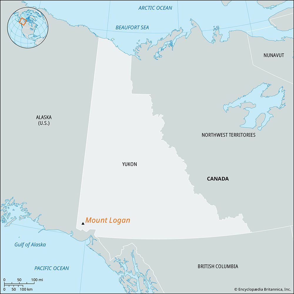
Mount Logan is the highest mountain in Canada and the second-highest peak in North America, reaching an elevation of 19,551 feet (5,959 meters). Located in the St. Elias Mountains of southwestern Yukon, it serves as a prominent feature of Kluane National Park and Reserve.12
The mountain is characterized by its massive scale, with a ridge crest spanning approximately 10 miles (16 km) and a total mass extending over 20 miles (32 km). It was named in honor of Sir William Logan, the founder of the Geological Survey of Canada, and was first summited on June 23, 1925, by an expedition led by A.H. MacCarthy and H.F. Lambert.1
What is Kluane National Park and Reserve?
Kluane National Park and Reserve is a vast mountain wilderness located in southwestern Yukon, Canada. Established as a game reserve in 1942 and a national park in 1972, it was designated a UNESCO World Heritage site in 1979.3
The park spans 8,487 square miles and is defined by two parallel mountain systems:
- St. Elias Mountains: Located in the southwest, these mountains contain Mount Logan, Canada’s highest peak, and host one of the world’s largest nonpolar ice field systems.3
- Kluane Range: Situated to the northeast, these mountains are more densely vegetated and accessible via the Alaska Highway.3
The park supports diverse ecosystems, ranging from montane forests to alpine tundra, and provides a habitat for Dall sheep, grizzly bears, and numerous other species. Popular recreational activities include hiking, fishing, and rafting on the Alsek River.3
How do glaciers shape mountain landscapes?
Glaciers fundamentally reshape mountain landscapes through the dual processes of erosion and deposition.4
Glacial Erosion
Glaciers act as powerful abrasive systems. By incorporating rock debris into their base, they function like sandpaper, scouring the bedrock through abrasion and plucking (or quarrying), which removes larger chunks of rock.56
This erosion creates distinct alpine features:
- U-shaped Valleys: Glaciers widen and straighten V-shaped stream valleys into broad, parabolic troughs with steep, vertical walls.78
- Cirques, Arêtes, and Horns: Glaciers carve amphitheatre-shaped hollows called cirques into mountainsides. When multiple cirques erode a mountain from different sides, they leave behind sharp, knife-edge ridges known as arêtes and pointed peaks called horns, such as the Matterhorn.74
- Hanging Valleys: Because smaller tributary glaciers erode more slowly than the main glacier, their valleys are left “hanging” high above the main valley floor, often resulting in waterfalls.8
Glacial Deposition
As glaciers melt, they deposit till—a mixture of unsorted sediment—and other debris. These deposits form moraines, which are ridges of sediment that mark the former margins of ice sheets. Other features, such as drumlins (streamlined hills) and eskers (sinuous ridges formed by subglacial streams), further alter the topography of the landscape.4
Who was Sir William Logan?
Sir William Edmond Logan (1798–1875) was a preeminent 19th-century Canadian geologist and the founder of the Geological Survey of Canada, which he directed from 1842 to 1869.9
Educated at the University of Edinburgh, Logan initially managed coal and copper-smelting interests in Wales. His observations there provided critical evidence that coal beds form in place, supported by the presence of underlying clay and fossilized tree roots.9
His major contributions to geology include:
- Report on the Geology of Canada (1863): A monumental compilation of two decades of research.9
- Logan’s Line: His identification of a major thrust fault zone extending from the St. Lawrence River to Pennsylvania, which separates deformed Paleozoic rocks from relatively undisturbed strata.9
Knighted in 1856, his legacy is also preserved in the name of Mount Logan, the highest peak in Canada, located within Kluane National Park and Reserve.91
Sources
- Mount Logan — Encyclopædia Britannica
- Logan, Mount — Merriam-Webster
- Kluane National Park and Reserve — Encyclopædia Britannica
- glacial landform - Glacial erosion — Encyclopædia Britannica
- glacial landform - Cirques , tarns, U-shaped valleys, arêtes, and horns — Encyclopædia Britannica
- glacial valley — Encyclopædia Britannica
- Quaternary - Landforms — Encyclopædia Britannica
- glacial landform - Small-scale features of glacial erosion — Encyclopædia Britannica
- Sir William Edmond Logan — Encyclopædia Britannica
Published on · 3 min read