Mount Elbrus
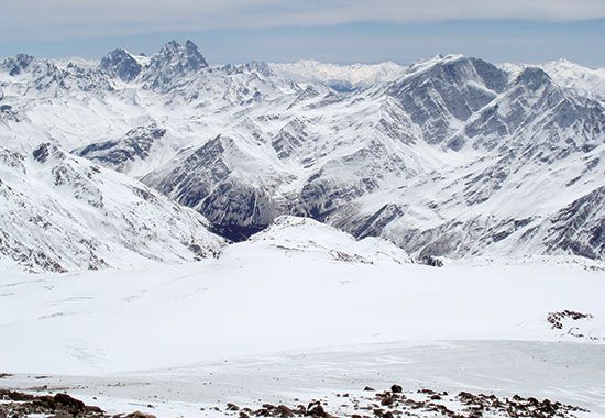
Mount Elbrus is an extinct volcano located in the Caucasus mountains of southwestern Russia. It is widely recognized as the highest peak in Europe, reaching…
What is Mount Elbrus?
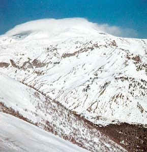
Mount Elbrus is an extinct volcano located in the Caucasus mountains of southwestern Russia. It is widely recognized as the highest peak in Europe, reaching an elevation of 18,510 feet (5,642 meters).12
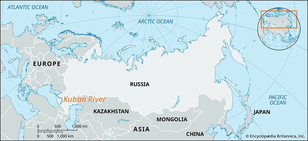
The mountain features twin cones, the taller of which was first ascended in 1874. Formed more than 2.5 million years ago, the volcano remains geologically active in the sense that it still emits sulfurous gases on its eastern slopes, and its flanks are home to numerous mineral springs. A significant portion of the mountain—covering 53 square miles—is blanketed by 22 glaciers, which serve as a vital water source for the Kuban River and headwaters of the Terek. Today, Mount Elbrus is a prominent destination for mountaineering and tourism, supported by extensive sporting facilities established in the region.13
What are the Seven Summits?
The Seven Summits are the highest peaks on each of the world’s seven continents. While considered a supreme mountaineering challenge, there is no universal agreement on the exact list due to differing geographical definitions regarding continental boundaries.
The generally accepted peaks are:
- Asia: Mount Everest (29,032 feet)
- South America: Mount Aconcagua (22,831 feet)
- North America: Denali (formerly Mount McKinley, 20,310 feet)
- Africa: Kilimanjaro (19,340 feet)
- Europe: Mount Elbrus (18,510 feet)
- Antarctica: Vinson Massif (16,050 feet)
- Australia/Oceania: This category is debated. The “Bass list” identifies Mount Kosciuszko (7,310 feet) as the highest in Australia proper, while the “Messner list” includes Jaya Peak (16,024 feet) to account for the broader Oceania region.2
The debate often centers on whether to classify Europe and Asia separately or as the single continent of Eurasia, and whether to include the islands of Oceania with Australia.2
How do glaciers affect the surrounding environment of a mountain?
Glaciers significantly reshape the mountain environment through both erosional and depositional processes, acting as powerful agents of geological change.
Erosional Impacts
Glaciers are highly effective at carving and modifying terrain. As they move, they erode the bedrock beneath them and along their valley walls, often transforming V-shaped river valleys into characteristic U-shaped valleys with steep, vertical sidewalls5.4
Key erosional features include:
- Cirques: Amphitheatre-shaped hollows carved into mountainsides, often containing small lakes known as tarns.5
- Arêtes and Horns: Glacial erosion narrows the ridges between parallel valleys into jagged, knife-edge arêtes. When multiple cirques erode a mountain from different sides, they leave behind a sharp, towering peak called a horn, such as the Matterhorn.54
Hydrological and Depositional Effects
Glaciers act as natural reservoirs, storing precipitation and regulating streamflow. They release meltwater that is often laden with rock flour—fine-grained sediment that gives many Alpine lakes their distinct green color.6
As glaciers retreat, they deposit debris in various forms:
- Moraines: Ridges of glacial drift, such as lateral moraines along valley slopes or end moraines at the glacier’s terminus.4
- Glaciofluvial Deposits: Meltwater streams create features like valley trains, kames, and eskers. Depressions left by melting ice blocks can form kettle lakes.7
What defines the boundary between Europe and Asia?
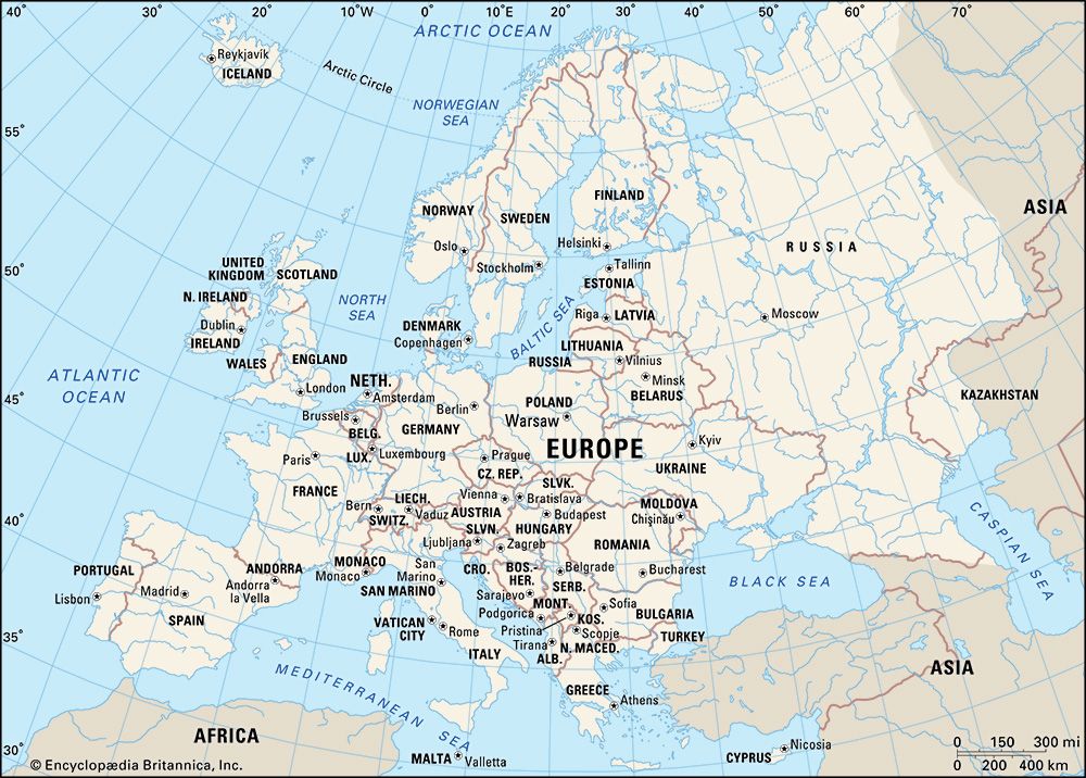
The boundary between Europe and Asia is not a fixed physical reality but rather a historical and cultural construct, meaning there is no universal agreement on its exact location.11
The most widely adopted geographic boundary follows a line that begins at the Arctic Ocean and runs south along the Ural Mountains. From there, the line turns southwest along the Emba River to the northern shore of the Caspian Sea. West of the Caspian, the boundary typically follows the Kuma-Manych Depression toward the Sea of Azov and the Kerch Strait of the Black Sea.1112
However, alternative definitions exist, particularly regarding the Caucasus region. Some geographers place the dividing line along the crest of the Greater Caucasus range, while others suggest different demarcations that shift the continental status of countries like Georgia, Armenia, and Azerbaijan.13
Sources
- Mount Elbrus — Encyclopædia Britannica
- The World’s Highest Mountains by Continent — Encyclopædia Britannica
- El'brus — Merriam-Webster
- glacier - Glacier hydrology — Encyclopædia Britannica
- glacial landform - Cirques , tarns, U-shaped valleys, arêtes, and horns — Encyclopædia Britannica
- Pleistocene Epoch - Glaciation — Encyclopædia Britannica
- glacial landform - Glaciofluvial deposits — Encyclopædia Britannica
- glacier - Mass balance of mountain glaciers — Encyclopædia Britannica
- glacier - Glaciers and climate — Encyclopædia Britannica
- glacier - Flow of mountain glaciers — Encyclopædia Britannica
- Eurasia — Encyclopædia Britannica
- Ural Mountains — Encyclopædia Britannica
- Caucasus — Encyclopædia Britannica
Published on · 3 min read