Plateau of Tibet
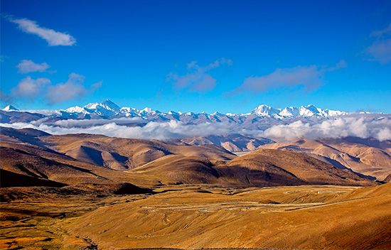
The Tibetan Plateau, often referred to as the "Roof of the World," rises to an average altitude of approximately 15,000 feet (4,570 meters).
What is the average elevation of the Tibetan Plateau, and how does it affect the climate?
The Tibetan Plateau, often referred to as the “Roof of the World,” rises to an average altitude of approximately 15,000 feet (4,570 meters).1
This massive elevation significantly influences regional and global climates in several ways:
- Atmospheric Circulation: The uplift of the plateau during the Cenozoic Era fundamentally altered atmospheric patterns, playing a critical role in creating the South Asian monsoon.2
- Barrier Effect: The plateau and surrounding mountains act as a physical barrier that isolates the interior from moisture-laden winds, contributing to the region’s generally dry climate.34
- Temperature and Pressure: Due to its high altitude, the plateau experiences cold temperatures and low atmospheric pressure. The massiveness of these highlands also facilitates the formation of local anticyclones during colder months.453
- Carbon Sequestration: The chemical weathering of the rising plateau is believed to have helped deplete atmospheric carbon dioxide, potentially influencing global cooling trends in the late Cenozoic.2
How was the Plateau of Tibet formed, and what are its key geological features?
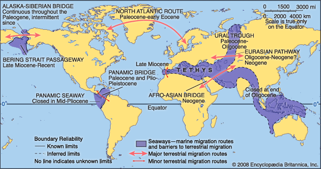
The Plateau of Tibet was formed as a direct result of the collision between the Indian subcontinent and the Eurasian Plate, a process that began approximately 40 to 50 million years ago. As the Indian plate pushed northward, it subducted beneath the southern margin of Asia, causing the sea floor of the ancient Tethys Ocean to be uplifted and the crust of the plateau to undergo severe shortening and thickening.78
Key Geological Features
- Crustal Thickening: The collision caused the crust of the Tibetan Plateau to approximately double in thickness.7
- Tectonic Activity: The region remains a site of active crustal deformation and frequent seismic activity. The plateau is characterized by numerous rift systems and strike-slip faults, which have developed as the continent continues to adjust to the ongoing penetration of India.97
- Mountain Ranges: The plateau is surrounded by massive mountain chains, including the Kunlun Mountains to the north and the Himalayas and Karakoram Range to the south and southwest.10
- Hydrology: It serves as a major watershed, containing the headwaters of several significant rivers, including the Indus, Brahmaputra, Yangtze, and Yellow River. The northern section, known as Qiangtang, is notable for its numerous brackish lakes.109
What is the geographical location and extent of the Plateau of Tibet?
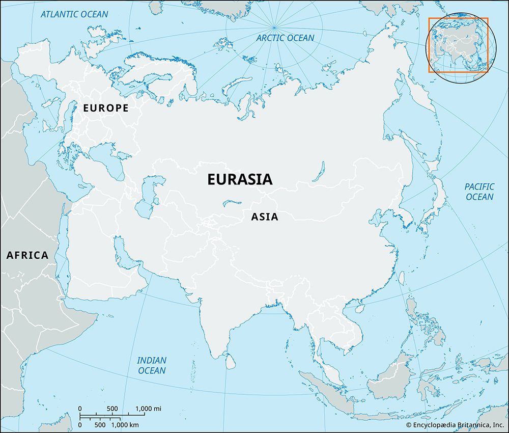
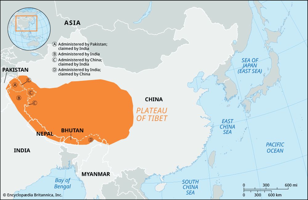
The Plateau of Tibet is a vast upland massif located in southwestern China, occupying approximately one-fourth of the country’s total area. It encompasses the entire Tibet Autonomous Region, a significant portion of Qinghai province, and extends into western Sichuan and the southern part of the Xinjiang Uygur Autonomous Region.912
The plateau covers an area of about 965,000 square miles (2,500,000 square km). Its boundaries are defined by major mountain systems:9
- North: The Kunlun Mountains.92
- South and Southwest: The Himalayas and the Karakoram Range.92
- East: The Daxue Mountains and the northern and central portions of the Hengduan Mountains.9
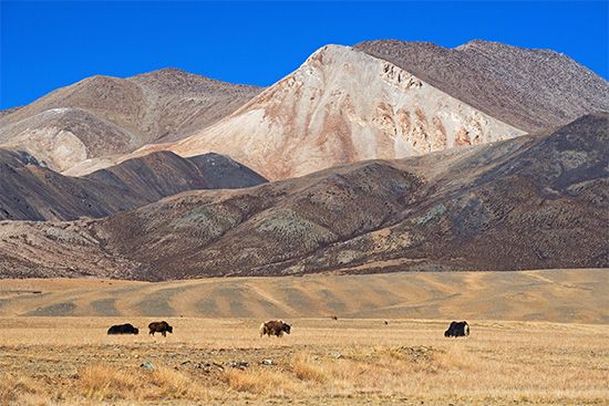
The region is characterized by a landscape of tangled mountains and uplands, with most areas sitting at elevations between 13,000 and 16,500 feet (4,000 to 5,000 meters).912
What are some of the most important rivers that originate from the Tibetan Plateau?
The Plateau of Tibet serves as the principal source for many of the most significant rivers in East, Southeast, and South Asia. Because of its high elevation and role as a major watershed, it is often referred to as the “water tower” of the continent.
Key rivers originating from the plateau include:
- Indus River: Originating in western Tibet near Mount Kailas, it flows westward into the Kashmir region and Pakistan.914
- Brahmaputra River: Known in its upper course as the Tsangpo, it rises from the Chemayungdung Glacier and flows eastward before cutting through the Himalayas into India and Bangladesh.915
- Yangtze River: The longest river in China, it has its headwaters in southern Qinghai, near the border of the Tibetan Plateau.914
- Huang He (Yellow River): This river rises in the Kunlun Mountains and flows across northern China.916
- Mekong River: Originating in southern Qinghai, it flows through eastern Tibet and Yunnan before entering Southeast Asia.914
- Salween River: It begins in east-central Tibet and flows through Yunnan into Myanmar.914
- Sutlej River: Also originating in western Tibet, it flows west into northwestern India and eastern Pakistan.14
- Tarim River: Another major waterway with headwaters in the highlands.9
Sources
- Asia - The influence of topography — Encyclopædia Britannica
- Tibetan Plateau — Merriam-Webster
- Climate change - Tectonic activity — Encyclopædia Britannica
- Tibet - Climate of Tibet — Encyclopædia Britannica
- Highland climate — Encyclopædia Britannica
- Asia - The polar front — Encyclopædia Britannica
- mountain - The Himalayan chain — Encyclopædia Britannica
- Himalayas - Geologic history — Encyclopædia Britannica
- Plateau of Tibet — Encyclopædia Britannica
- Qinghai - History of Qinghai — Encyclopædia Britannica
- Qinghai - Land — Encyclopædia Britannica
- Tibet - Relief — Encyclopædia Britannica
- China - The Plateau of Tibet — Encyclopædia Britannica
- Tibet - Drainage and soils — Encyclopædia Britannica
- Brahmaputra River - Physiography — Encyclopædia Britannica
- China - Drainage — Encyclopædia Britannica
- plateau - Geomorphic characteristics — Encyclopædia Britannica
Published on · 3 min read