Brooks Range
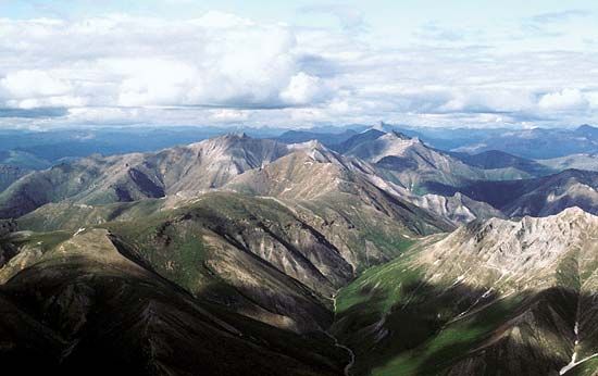
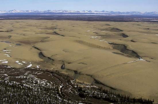
The Brooks Range is the world’s highest mountain range located entirely within the Arctic Circle, extending approximately 600 miles across northern Alaska…
What are the major peaks and notable features of the Brooks Range?
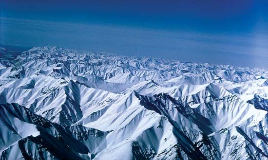
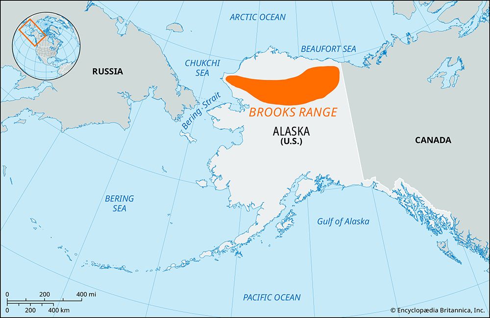
The Brooks Range is the world’s highest mountain range located entirely within the Arctic Circle, extending approximately 600 miles across northern Alaska from the Canadian border to the Chukchi Sea.12
Notable Peaks and Features
- Highest Point: The range’s highest peak is Mount Isto, which reaches an elevation of 9,060 feet (2,761 meters).2
- Topography: The range is characterized by rugged, glaciated terrain. Elevations average 3,000 to 4,000 feet in the west and increase to 5,000 to 6,000 feet in the central and eastern sections.12
- Passes: Anaktuvuk Pass (2,200 feet) serves as a primary access point through the center of the range, while Atigun Pass provides a vital corridor for the Trans-Alaska Pipeline.12
- Protected Areas: The region hosts significant wilderness areas, including Gates of the Arctic National Park and Preserve, Kobuk Valley National Park, Noatak National Preserve, and the Arctic National Wildlife Refuge.1
The range acts as a critical watershed, dividing drainage between the Yukon River system to the south and the Arctic Ocean to the north.12
What types of wildlife can be found in the Brooks Range ecosystem?
The Brooks Range ecosystem supports a diverse array of wildlife adapted to its high-latitude, rugged environment. The region is home to more than 35 species of land mammals and approximately 200 species of birds.1
Land Mammals
Large terrestrial mammals are a defining feature of the range. Notable species include:
- Predators: Gray wolves, wolverines, and both black and brown (grizzly) bears.145
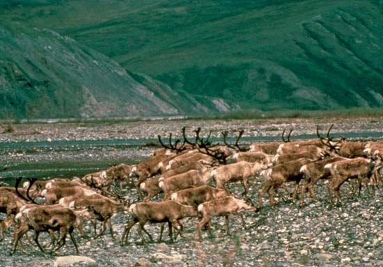
- Ungulates: Caribou, which undertake significant annual migrations, as well as musk oxen and moose. In the high mountain elevations, Dall sheep are commonly found.145
- Smaller Mammals: The ecosystem supports various rodents, such as marmots, voles, lemmings, and beavers, alongside other fur-bearing animals like martens, river otters, weasels, and snowshoe hares.45
Marine and Aquatic Life
Coastal areas and waterways are vital to the ecosystem. The region hosts polar bears and various seal populations, while whales migrate through nearby waters during the fall. The rivers and lakes are inhabited by fish species including Arctic grayling, whitefish, and Dolly Varden trout.4
Birdlife
While few birds remain year-round—such as ptarmigans, owls, and woodpeckers—the area serves as a critical breeding ground for many migratory species, including ducks, geese, loons, plovers, sandpipers, gulls, terns, and golden eagles.4
What role does the Brooks Range play in Alaska’s water systems and rivers?
The Brooks Range serves as a critical continental divide in Alaska, acting as the primary watershed that dictates the flow of water across the northern portion of the state.13
The range separates three distinct drainage systems:
- Northward: Waters flow across the North Slope into the Arctic Ocean.Slope) into the Arctic Ocean.13
- Westward: Rivers drain into the Chukchi Sea and Kotzebue Sound.3
- Southward: Water feeds into the Yukon River drainage system, which eventually empties into the Bering Sea.13
Over time, major rivers have eroded headward into the mountains, creating low-elevation passes that serve as vital geographic corridors. For example, Anaktuvuk Pass provides a central route through the range, while the Atigun Pass is situated at the head of the Dietrich River, connecting the northern oil-producing regions with the interior of Alaska.13
How were the Brooks Range mountains formed, and what is their geological history?
The Brooks Range, the northernmost extension of the Rocky Mountains, possesses a complex geological history defined by significant tectonic activity and long-term erosion.31
Geological Composition
The backbone of the range consists of sedimentary and metamorphic rocks dating back to the early Paleozoic Era. These core materials are flanked by younger sedimentary rocks originating from the Permian Period and the Mesozoic Era.3
Formation and Uplift
The mountains were formed through major compressional foldings, known as orogenies, which began in the late Jurassic Period. This process of uplift occurred in periodic increments throughout the Cretaceous Period and continued into the Paleogene and Neogene periods. The orogeny reached completion through intense deformation and northward overthrusting during the late Neogene.3
Shaping the Landscape
Throughout these periods of tectonic uplift, the range was simultaneously shaped by the erosive forces of rivers and glaciers. This combination of structural folding, faulting, and glacial activity resulted in the exceedingly rugged topography observed today. While the area has been extensively glaciated, small glaciers persist in the eastern portions of the range.3
Sources
- Brooks Range — Encyclopædia Britannica
- Brooks Range — Merriam-Webster
- Alaskan mountains - Physiography of the northern ranges — Encyclopædia Britannica
- Arctic National Wildlife Refuge — Encyclopædia Britannica
- Alaskan mountains - Plant and animal life — Encyclopædia Britannica
- Alaska - Relief — Encyclopædia Britannica
Published on · 3 min read