Arauca River
The Arauca River is a major western tributary of the Orinoco River, spanning approximately 500 miles (800 km) through Colombia and Venezuela.
What is Arauca River?
The Arauca River is a major western tributary of the Orinoco River, spanning approximately 500 miles (800 km) through Colombia and Venezuela.1
Originating in the Cordillera Oriental of the Andes mountains near the border of these two nations, the river flows eastward, serving as a portion of the international boundary between them. It follows a course nearly parallel to the Apure and Meta rivers before emptying into the Orinoco southeast of San Fernando de Apure. Because the river traverses vast, level plains, it is prone to significant flooding during the rainy season, which lasts from April to November.1
How does the Orinoco River basin support local wildlife?
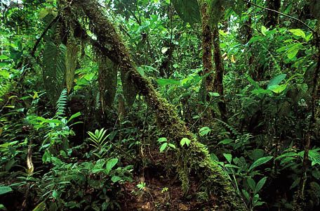
The Orinoco River basin supports a vast array of wildlife by providing diverse freshwater habitats, including rain forests, swamps, marshes, and the expansive Llanos grasslands.23
Aquatic and Riparian Life
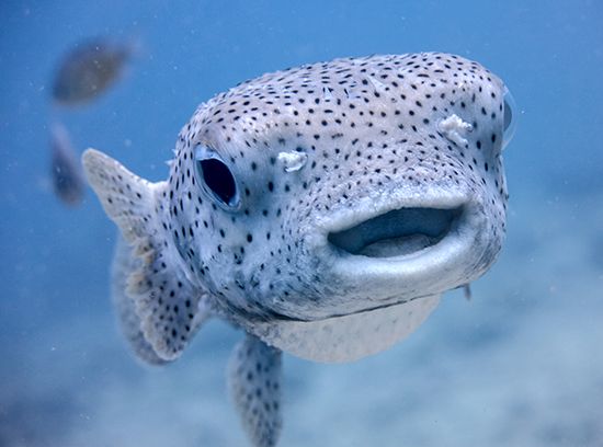
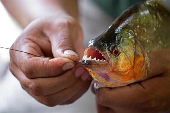
The river system is home to a rich variety of fish, such as the carnivorous piranha, the electric eel, and the laulao catfish. Reptiles are also prominent, including caimans, various snakes, and the arrau side-necked turtle, which nests on the river’s sandy islands. The Orinoco crocodile, a critically endangered apex predator, relies on these freshwater environments for hunting and breeding.24
Terrestrial and Avian Biodiversity
The basin supports over 1,000 species of birds, including the scarlet ibis, bellbird, and various parrots. Many mammals, such as deer, tapirs, jaguars, and the capybara, inhabit the gallery forests along streams or feed on the surrounding grasslands. Additionally, the delta region hosts unique species like the endemic four-eyed opossum.2
What are the characteristics of the Andes mountain range?
The Andes Mountains form a continuous, formidable rampart stretching approximately 5,500 miles (8,900 km) along the western edge of South America, from the Caribbean coast to the continent’s southern tip. Second only to the Himalayas in average elevation, the range features numerous peaks exceeding 20,000 feet (6,100 meters), including Mount Aconcagua, the highest point in the Western Hemisphere.67
Key characteristics include:
- Geology and Relief: The Andes are part of the Ring of Fire, characterized by frequent volcanoes and seismic activity. The range features complex structures, such as the Altiplano high plateaus and deep rift valleys formed by faulting.7
- Climatic Zonation: The mountains act as a major orographic barrier, creating distinct rain shadows and vertical climatic zones ranging from warm tropical foothills (tierra caliente) to freezing glacial summits (tierra helada).87
- Biodiversity: Life in the Andes is strictly governed by altitude and moisture. The range supports diverse ecosystems, from lush tropical forests in the north to mid-latitude rain forests and desert-like steppes in the south.9
How do seasonal floods impact the lives of people living near the river?
Seasonal floods in the Orinoco River basin significantly shape the lives and economies of those living in the region. The annual cycle of rainfall, which peaks between June and August, causes the river to overflow its banks and submerge vast areas of the lowlands, sometimes by as much as 65 feet (20 meters) in certain locations.112
These floods dictate daily life and economic activity in several ways:
- Transportation: During the rainy season, the flooded landscape makes traditional travel difficult. Boats equipped with outboard motors become the primary, and often only, means of communication and transportation throughout large portions of the basin.13
- Agriculture and Livestock: The Llanos are a major region for livestock production, particularly cattle. The seasonal shift between extreme saturation and dehydration affects land use, and there are ongoing efforts to implement flood-control and land-reclamation projects to expand agricultural potential for crops like sugarcane, cotton, and rice.1415
- Infrastructure: To mitigate the isolation caused by these floods, significant investments have been made in road and bridge construction, such as the Angostura Bridge, to better connect the Llanos to industrial and urban centers.13
Sources
- Arauca River — Encyclopædia Britannica
- Orinoco River - Animal life — Encyclopædia Britannica
- Orinoco crocodile — Encyclopædia Britannica
- Orinoco River — Encyclopædia Britannica
- Orinoco River - Physiography of the Orinoco — Encyclopædia Britannica
- Andes Mountains: Top Questions — Encyclopædia Britannica
- South America - The Southern Andes — Encyclopædia Britannica
- South America - Factors influencing climate — Encyclopædia Britannica
- South America - The Andes Mountains — Encyclopædia Britannica
- Andes Mountains - Plant and animal life — Encyclopædia Britannica
- Andean Geosyncline — Encyclopædia Britannica
- Orinoco River - Hydrology — Encyclopædia Britannica
- Orinoco River - Agriculture — Encyclopædia Britannica
- Orinoco River - Climate of the Orinoco River — Encyclopædia Britannica
- Orinoco River - Transportation — Encyclopædia Britannica
- Orinoco River - Physiography of the Orinoco Llanos — Encyclopædia Britannica
Published on · 3 min read